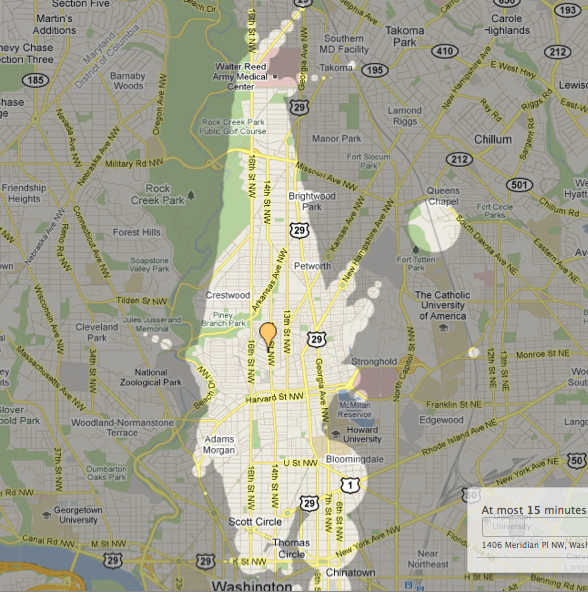
Just spotted a blog post about Mapnificent, a new transit trip planning tool that uses Google Maps. You drag the map to where you are and it shows you how far you can get in however much time you specify, taking into account walking, Metro, and bus. The above map is starting from about 14th and Newton.
Does it seem accurate? I know that taking the 14th Street bus south often takes 30-45 minutes to get to about F Street, depending on traffic and the number of stops, but if you include Metro (and catch the train just right) it can be much faster.
Interestingly, it also shows bubbles around Metro stations.
Play around with it and let everyone know in the comments if it seems accurate. Might be a useful tool.


